
MODULAR SOFTWARE
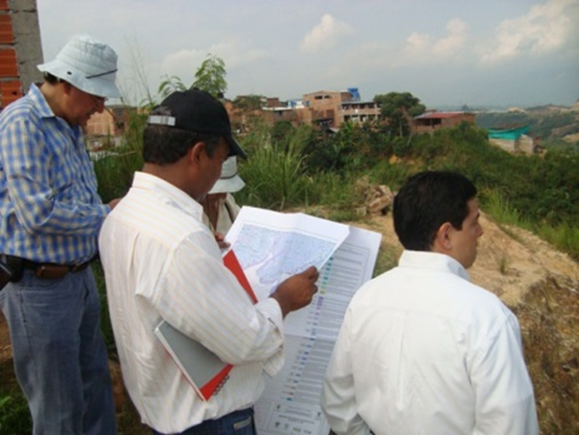
The ORDIM modules ADT and ALC, manage the technical, financial and spatial information of water and sewerage networks.
|
The suite for Management of Public Service Networks ORDIM, provides a software tool of cutting edge technology, designed to manage every business related with public services. ORDIM operation is based in the concept of Geographic Information Systems (GIS), achieving the integration between alphanumeric information and spatial information (maps), in the same work environment; prioritizing the generation and management of information in Real Time. The suite for Management of Public Service Networks ORDIM, was designed to meet all needs and requirement of companies in the Public Services Sector of the country. The modular design of the suite for Management of Public Service Networks ORDIM, allows to adjust the software development to the particular needs of each one of our clients, thus becoming a strategic partner in the management and administration of Public Services Networks in Colombia. |
  |
The suite for Management of Public Service Networks ORDIM, provides a software tool of cutting edge technology, designed to manage every business related with public services.
ORDIM operation is based in the concept of Geographic Information Systems (GIS), achieving the integration between alphanumeric information and spatial information (maps), in the same work environment; prioritizing the generation and management of information in Real Time.
The suite for Management of Public Service Networks ORDIM, was designed to meet all needs and requirement of companies in the Public Services Sector of the country.
The modular design of the suite for Management of Public Service Networks ORDIM, allows to adjust the software development to the particular needs of each one of our clients, thus becoming a strategic partner in the management and administration of Public Services Networks in Colombia
✓ Entry, editing and query of alphanumeric information
✓ Entry and editing of spatial information (basic – thematic)
✓ Spatial data query (basic – thematic)
✓ Hydraulic network design
✓ Valuation of network assets
✓ Network management
✓ Generation of informative reports – General, technical, statistical, geospatial, financial and managerial reports
✓ Generation of basic and thematic maps of the water supply network in real time
✓ Generation of graphic outputs of alphanumeric and/or spatial information (digital and printed) in predefined sizes