Geographic Information Systems – GIS
STATE SECTOR
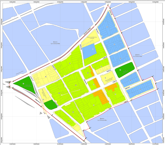
· Database Integration of property tax with basic base property mapping information of municipalities.
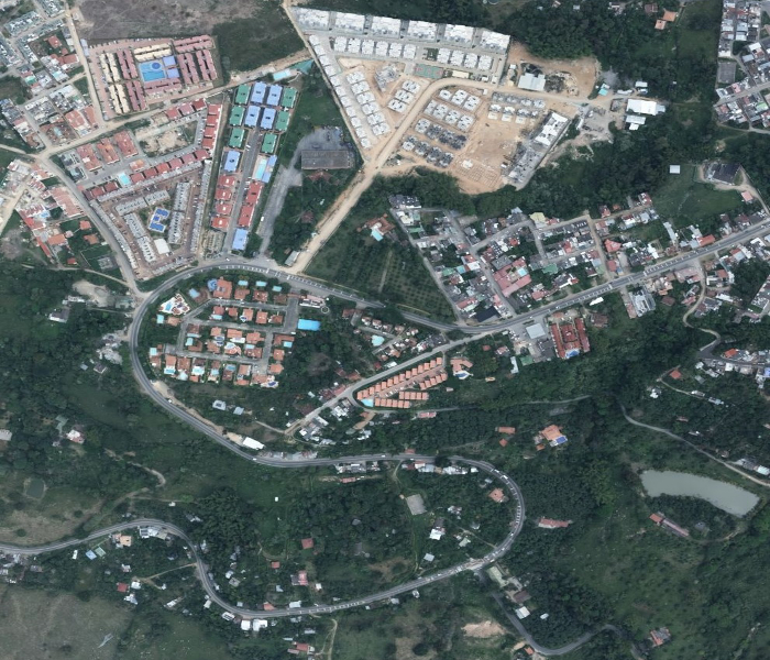
· Geographic information systems (GIS) for decision-making in urban renewal studies.
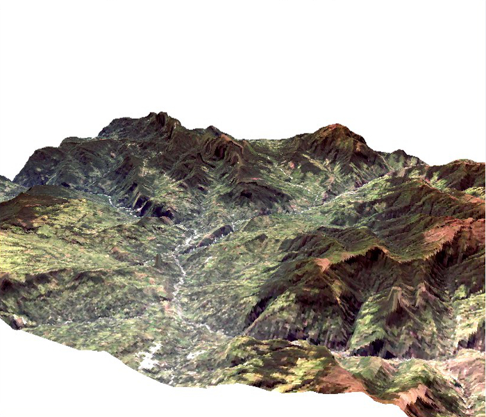
· Geographic Information Systems (GIS) for basin Planning.
· Geoportals for basic and thematic cartographic publications.
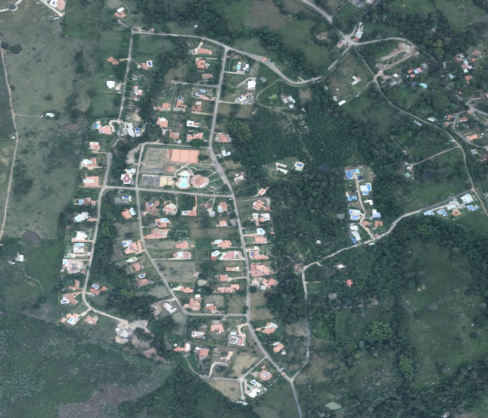
· Geographic Information Systems (GIS) for Natural Protected Areas.
CONSULTING INDUSTRY
· Integrated management of renewable natural resources in protected natural areas.
ENVIRONMENTAL AUTHORITIES
· Geographic Information Systems (GIS) and mapping landslides , flooding , torrential avenue and forest fires.
· Base software GIS for environmental information integration.
· Digital photogrammetry Projects.